Scenario
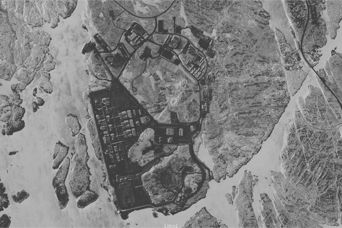
The question of this diploma is: what is left when this hermetic cloche of energy production is removed?
If we look at the remaining gas reserves, more than half have already been pumped out. As it is, there are 50 to 70 years to go before these fields are empty not counting a possible earlier shutdown of fossil fuel extraction to prevent the increase of global warming.
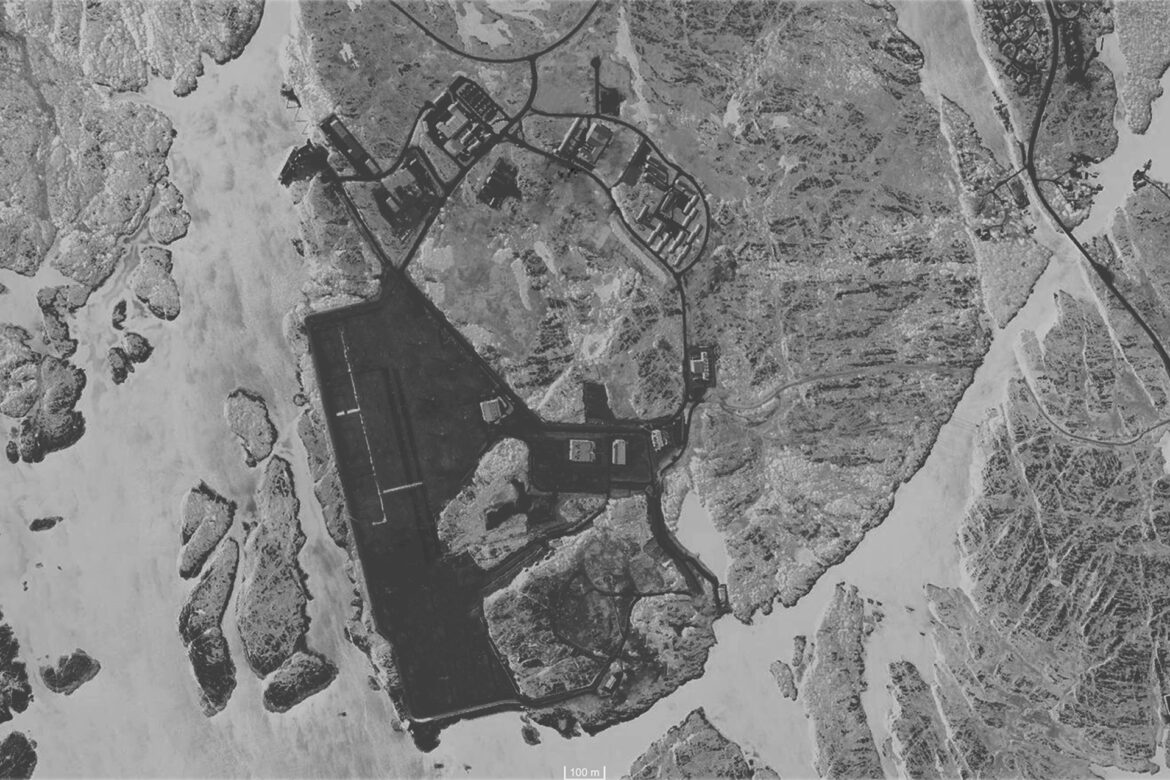
Once production has stopped, all the infrastructure can be easily moved and reused to a new site, being all installed on light steel structures.
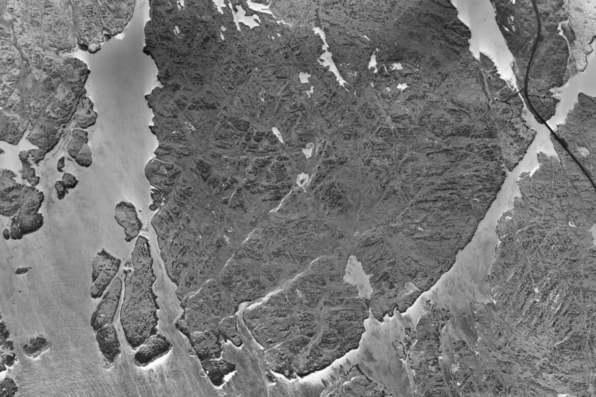
Only the flat ground, with the traces of pollution and the foundations will remain as proof of an industrial past and a bygone exploitation. A process of forgetting will then start, we will try to forget this place, its impact in the local landscape and its key role in the European production of gas.
The site will become what Gilles Clément calls a Third Landscape, a place left behind with an unclear status, « An undecided fragment of the planetary garden ».
This diploma takes place in the post-oil period of it provokes a reflection around those industrial/ energy places that will become the ruins of the Anthropocene.
Instead of approaching the site as a disappearance, a programmed oblivion, this diploma project prefers to re-inscribe it into a further cyclic process that suggests a new life. Instead of seeing this new ruin as the end of a story, it could be seen as part of a movement, as a new topography, assimilating it to the natural ground to renew habitable forms, rehabilitating. The project is part of a scenario of change, of transition, temporality is central to the process, from removal to reuse to fabrication.
The idea here is not to highlight the ruin but to make it visible through the development of another cartography, and the possibility of a new gaze. A new activation of the site with consideration for the presence of the non-human, such as birds, and human actors.
The project describes an invitation to explore and experience this rediscovered land.
Method
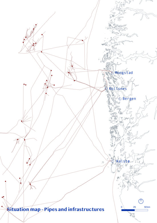
To understand this industrial landscape at my level – how things work, what is natural gas, what is extracted from it, what is the soundscape of the site…, and where everything is confidential – I had to investigate all the pictures, all the articles and all the reports I could find on Kollsnes.
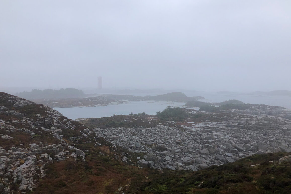
I also spent a lot of time in the landscape, trying to get as close as possible to the fences of Kollsnes, but also exploring the rest, the landscape, the villages and the different fiskevær. By being in the landscape, taking pictures, videos, sound recordings and writing about my experience, I tried to understand the more sensitive, palpable part of the landscape and understand more than the facts that I was collecting. Experiencing this sharp dichotomous coastline between heavy industries and untouched land. From empty plains inhabited by the gust of wind and the crashing of the waves to heavy industrial sites, pipe landscapes, leaving at the rhythm of the back and forth of the cargo ships, and the constant vibration of resource processing.
This sensing approach of the landscape/seascape has always been central to my reflections. My essay, « Water, as an element of the senses » focused on this question of experiencing places through our body and our mind, and the central role of sound in the identity of spaces. The concept of Soundscape by R. Murray Schafer, aims to read the space by its sound. In the case of Kollsnes, giving new voices to what has been for decades the endless noise of pumps, compressors, gas running in pipes and other industrial sounds, covering and muting the sea, the birds and even the wind. How could I redefine the sonic identity of Kollsnes?
Program
The proposal is divided into two parts; one horizontal activating all of bothe site, and the second, vertical, dedicated to the different landscape actors
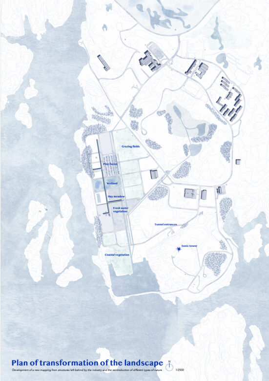
In the first part, different spaces delimited by the left-behind roads are used to create a landscape laboratory with a sequence of the 6 main types of nature present in Øygarden: wetland, pine forest, littoral, hay meadow, freshwater environment, and grassland. Each are inhabited by specific fauna and flora species and the topography is adapted to their needs, for example by creating wind protection. In this way, the altered nature is supported in the «healing » process and regenerated in order for this space to slowly reconnect with the natural cycles from which it has been distanced, removed. The five structures that are more physically anchored in the landscape will be kept on the site; they have become the landscape: two ‘rivers of pipes’, dug into the flat field can be used as streams allowing the fresh water to flow again to the sea by following the crevices; a large bridge, which follows the length of the site six metres above the ground, and can be used as a path thus keeping most human interaction at a safe distance from the recovering landscape; and some chimneys, that form a dialogue with the vertical part of the intervention.
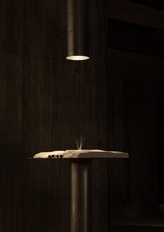
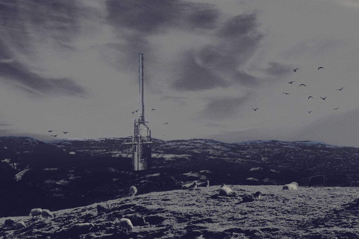
The vertical part of the proposal is a sonic tower, a structure starting underground and emerging out into the landscape, addressing the platforms, the offshore wind farms, and new energy and resource producers found kilometres away in the sea, but also to Øygarden and its several onshore sites. It serves as a visual landmark, to the importance of this site for the local context but also beyond Norwegian borders.
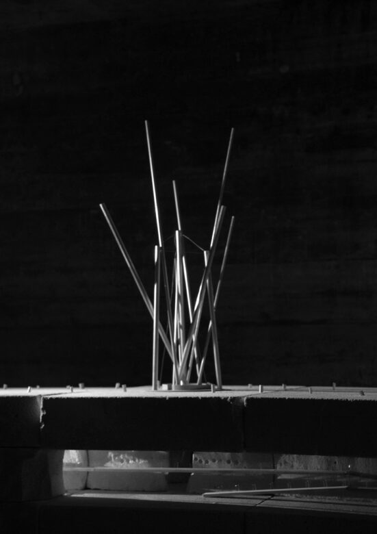
The tower has two levels, the f upper level is made out of reused pipes from the site and is mostly dedicated to the non-human actors, such as wind and the birds. Small design elements incorporated into the pipes will allow the birds to nest inside, and the wind to create its own melody through wind harps. The purpose of the pipes has been transformed from a specific industrial, horizontally-ordered use, to a sculptural curiosity, animated by the rhythm of the wind and bird migrations.
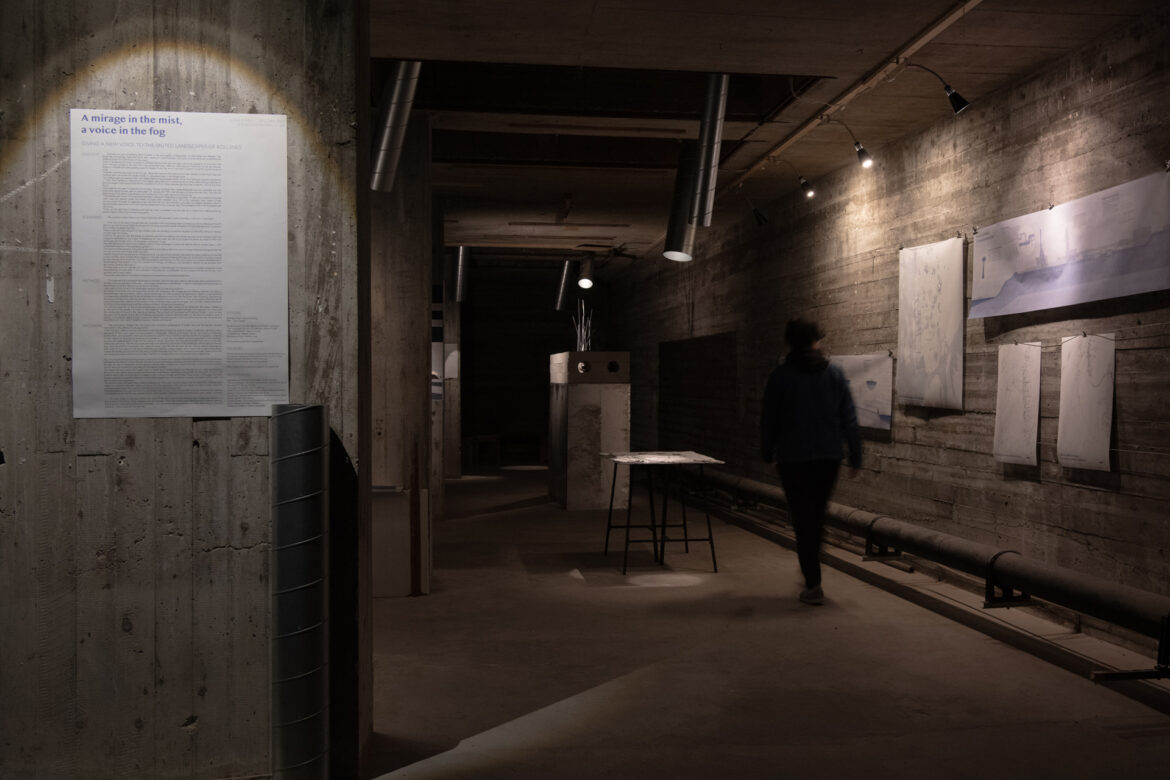
The second level is located a few meters underground. The tower is positioned on the hill where the undersea pipes make the transition between water and land, and the entrance is through two large concrete tunnels where the undersea pipes arrive; the previous landing point of the offshore resources.
Pipes from above allow light and sound to penetrate those tunnels. A main room under the tower, transmits the « natural » soundscape above. On the way, several smaller rooms enable a detailed listening of the wind, water, waves, and birds.
The sonic tower is a symbol of this new cycle of life and is part of the transition from a past gas industry to a future reflective territory which creates a new soundscape. The tones of the tower will evolve with time and seasons, following the movements of the birds, the tides… You can faintly hear it sometimes from afar, depending on the wind direction – like a voice call from the sea.
References
Manifesto of the third Landscapes, Gilles Clément.
The soundscape : our sonic environment and the tuning of the world, R. Murray Schafer.
The urban revolution, Henri Lefebvre.
Terra Forma: A Book of Speculative Maps, Alexandra Arènes, Axelle Grégoire and Frédérique Aït-Touat.
Geostories. Another Architecture for the Environment, Rania Ghosn and El Hadi Jazairy.
Critical Zones. The Science and Politics of Landing on Earth, Bruno Latour and Peter Weibel.
Water and Dreams, Gaston Bachelard.
