Location
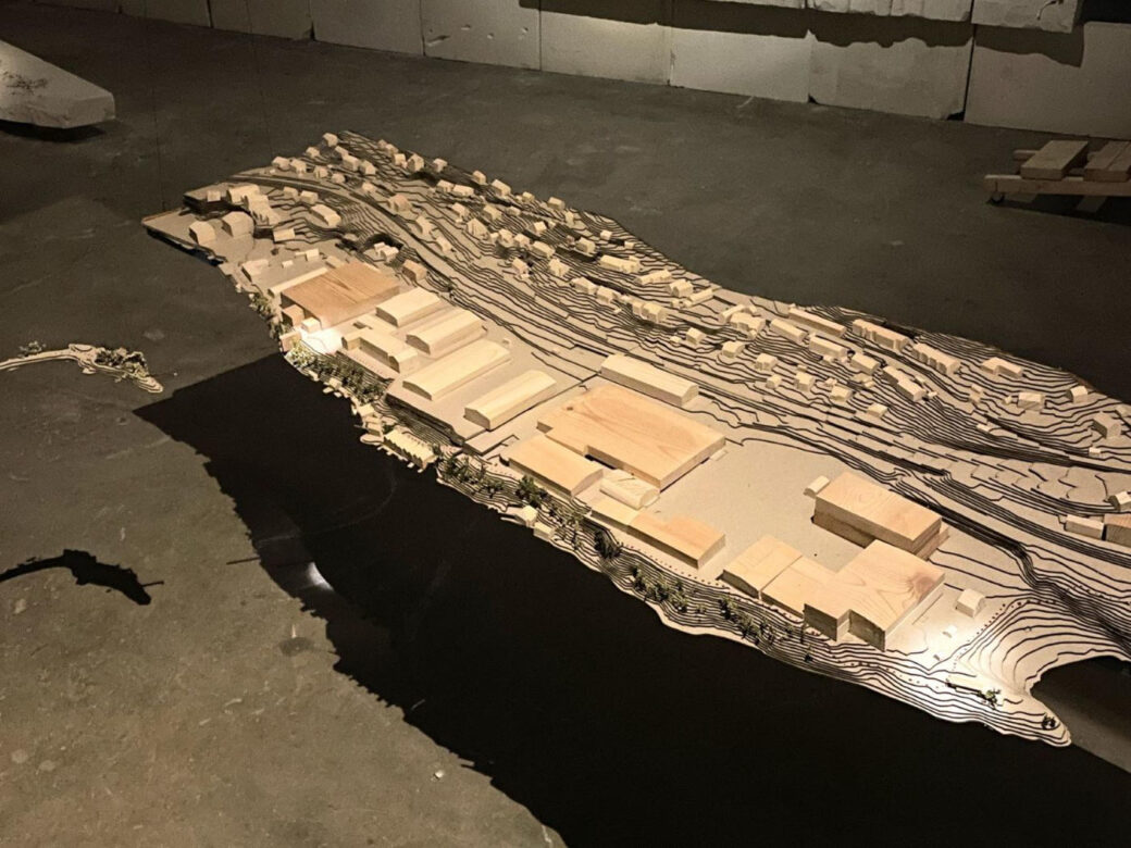
The project is situated in Arna, in a district of Bergen municipality, that is only a seven-minute train ride away from Bergen city center, or half an hour by bus or car. The central part of Arna lies in a valley between the mountains and is divided into two sides from the bottom of the valley by Arnavågen fjord, leaving Ytre Arna on the Northwest side of the fjord and Indre Arna on the Southeast side. Despite its location behind the mountains towards the east, it is a newly attractive focus point for development and a growing part of Bergen municipality.
Landscape
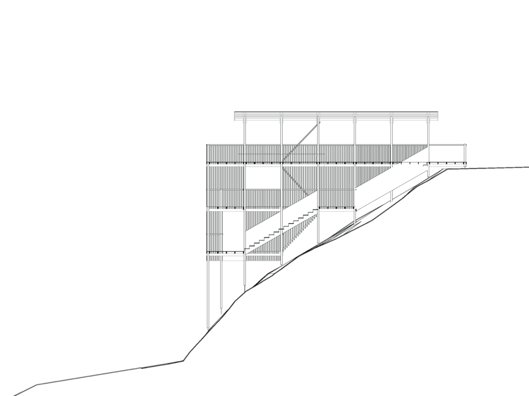
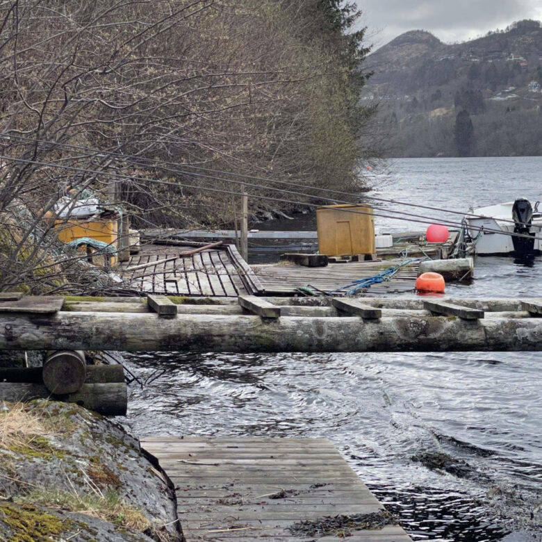
The narrow and steep characteristics of the landscape and the fjord, largely determines the way of movement inside the district and the way it´s built. The fjord divides the landscape into two different sides: the west side and the east side, “the sunny side and the shadowed side”. Because of the sun conditions, Arna is seen as a dark place, due to its location between the mountains. The demanding landscape and the human built environment are making the division of Arna, creating a situation where the pedestrians and cyclists are in a disadvantaged situation. The district is car orientated, creating a need for a car for those living far away from the center at Øyrane torg and where the train station is. The steep mountains provide hiking paths and outdoor possibilities, but down in the town the best way to move on foot is by the old Vossebane train tracks. Going down to the water is prevented by the industrial area as well as the car roads aligned with the waterfront. The steep landscape by the water with fallen trees and dead branches, makes it more difficult to attempt access the water in certain areas. My focus is on the waterfront areas around Arnavågen creating places of utilitarian and recreational purposes.
Project aim
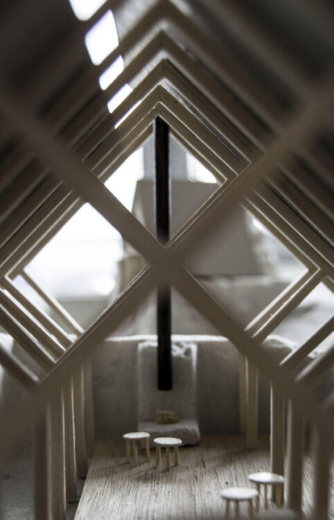
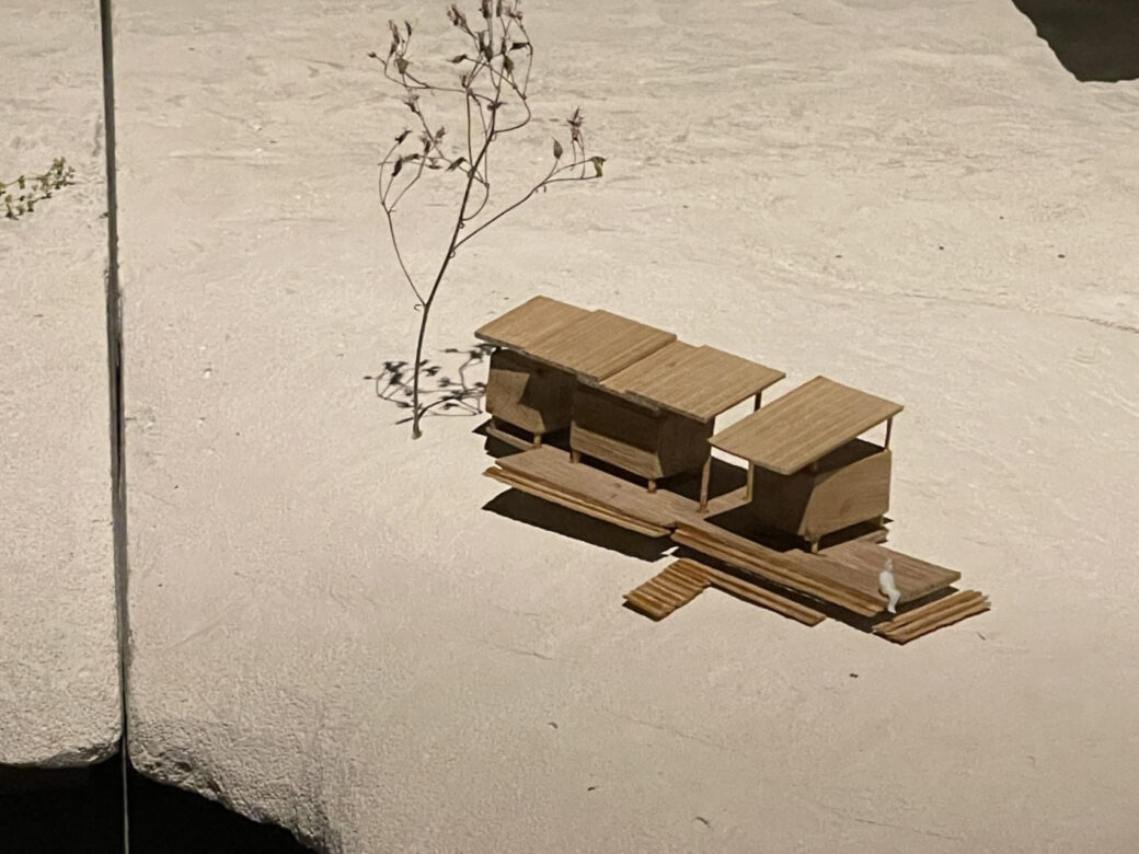
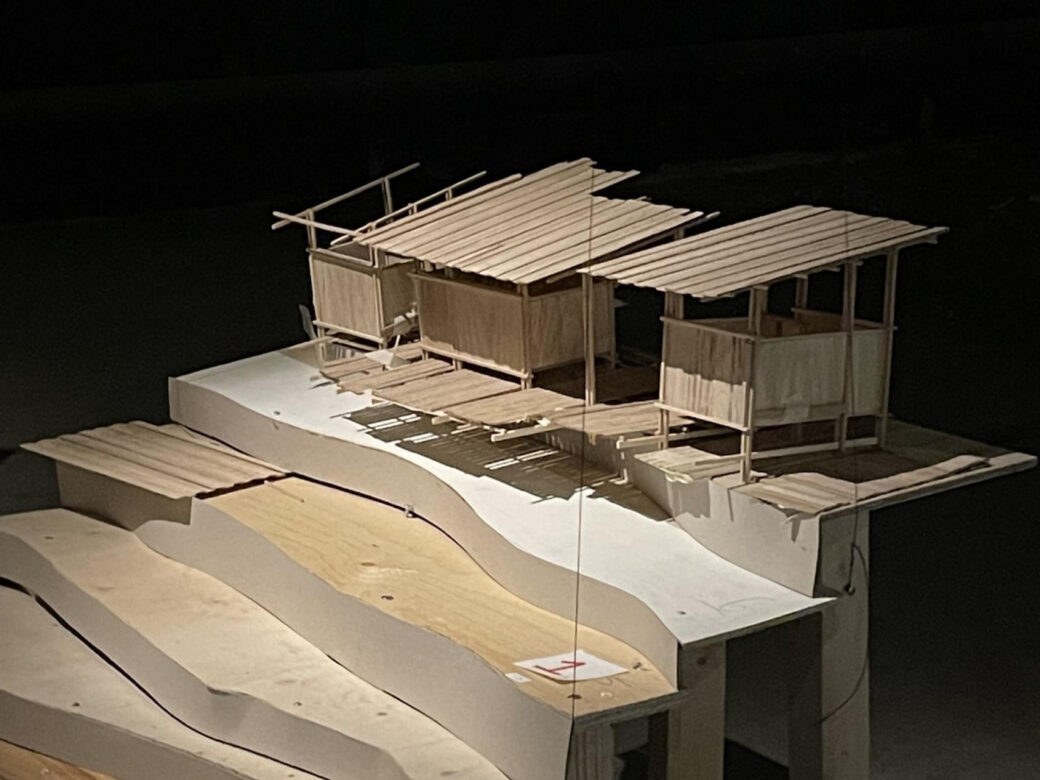
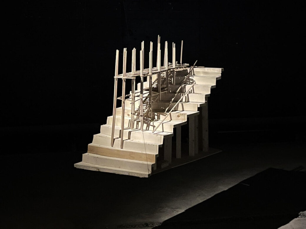
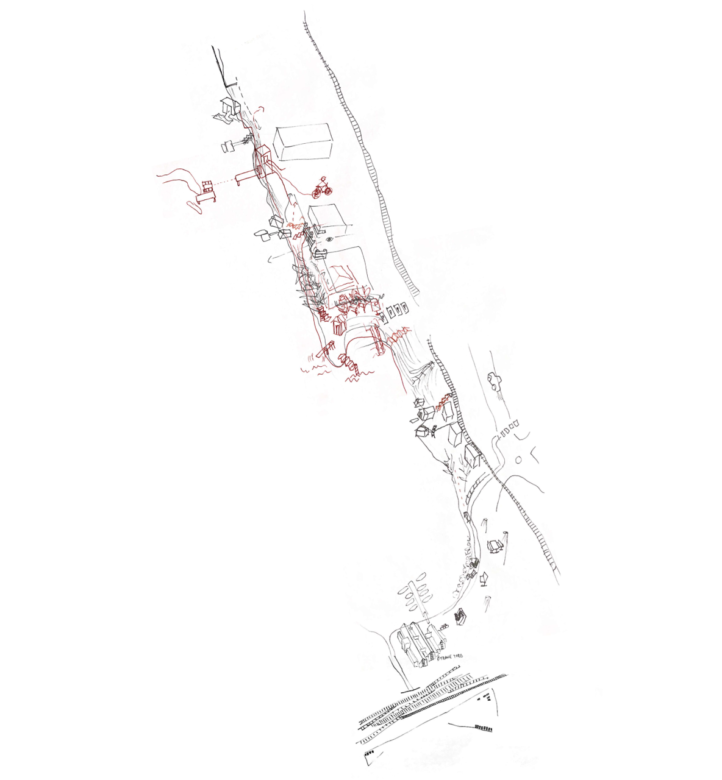
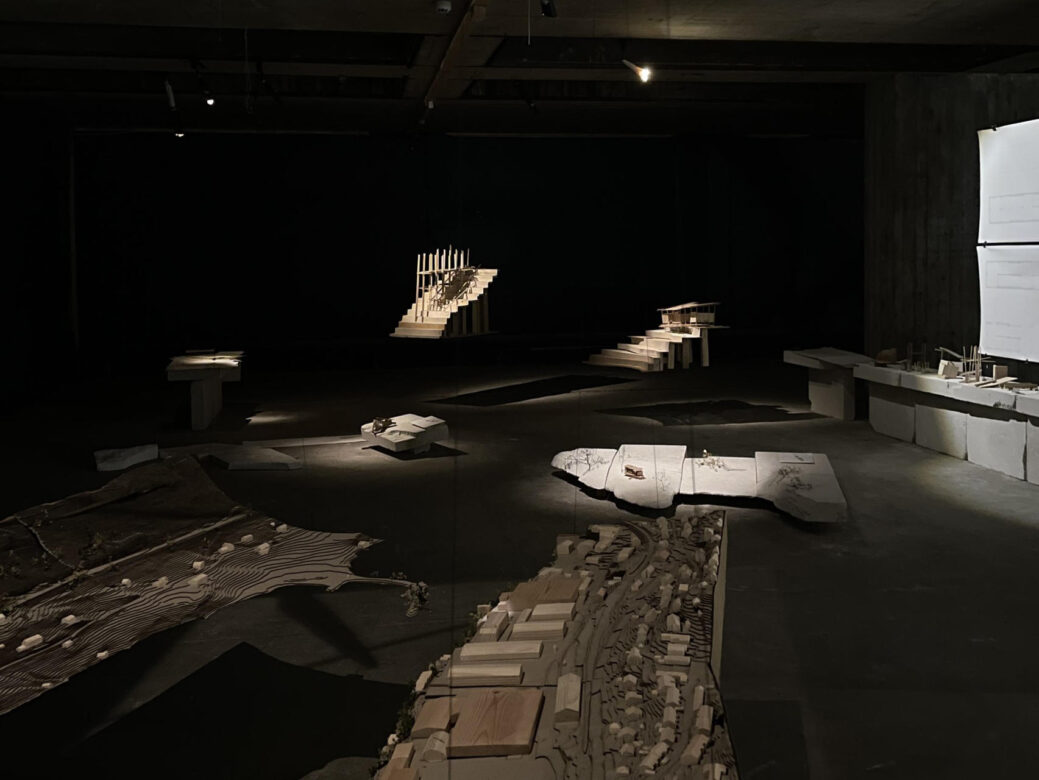
The aim for the project is to increase the walkability in the district as well as to enrich the cultural landscape by making the demanding landscape accessible along the water creating places of gathering in urban nature. As a response to the Bergen municipality´s plan KPA2018 of “the walking city”, I suggest a pedestrian path creating a connection from Øyrane Torg to Holmen badeplass, connecting the two different sides around Arnavågen. The project responds accordingly to the qualities of the landscape in each location, helping the visitors to experience the urban nature within each site and its surroundings as well as creating a way to move through the landscape making it easier to walk in the district.
Proposal
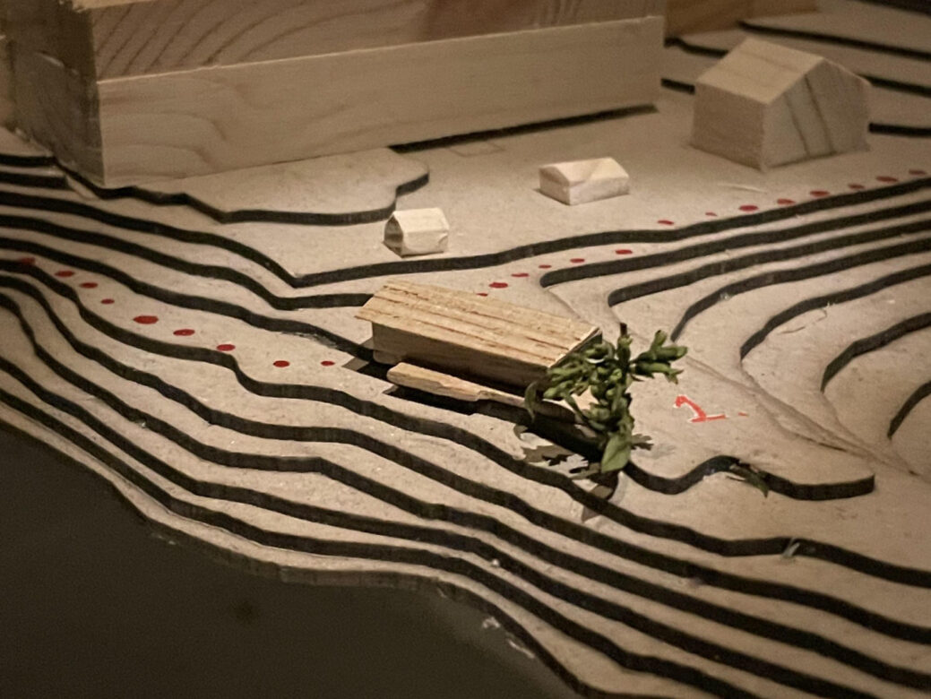
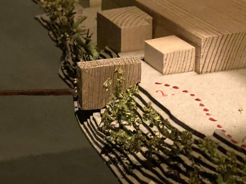
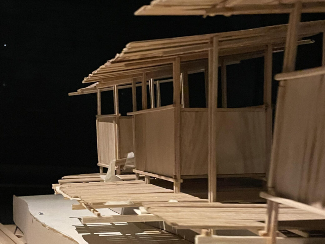
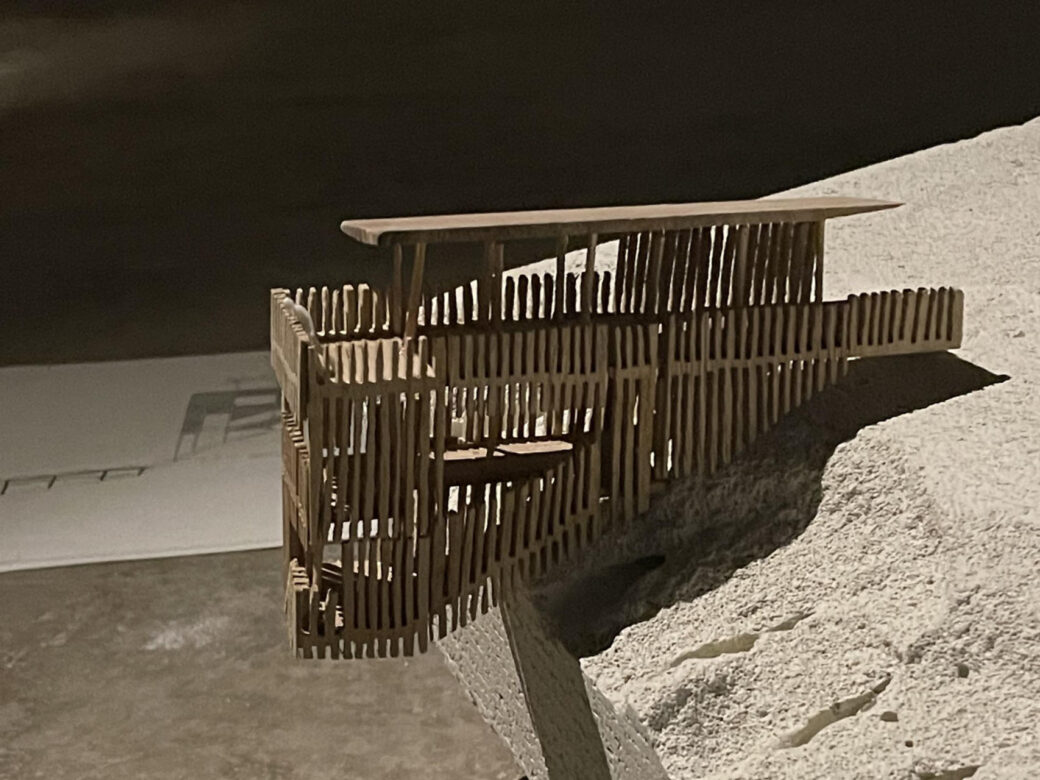
To connect the two sides, I suggest a connection in the middle part of Arnavågen from Holmen badeplass to Storaneset, making it possible to cross over the water on foot and by bike. Making the waterfront accessible by foot is a way to bring people closer to the water. Therefore, I suggest a walking path along the steep waterfront from Heggelandsvika badeplass (Kalvtrevika), that connects to the path going over the water. The connection over the water and the walking path on the waterfront creates meeting points, which provide possibilities for getting together with other people as well as getting a closer relation to the water.
